Teaching Maps: Lesson Plan Ideas
We’ve been studying maps. It sounds kinda boring, doesn’t it? LOL…I thought so until I started planning our activities. It turns out that this is now one of my favorite topics to teach. There are just so many really cool activities you can do with maps.

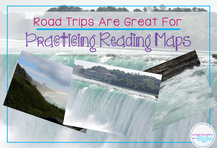
Since we had planned to take a trip over our break to visit family and see Niagara Falls, we started out by looking at and exploring the driving routes we could take to drive from Georgia up to Niagara Falls, Canada. Big Bit, my older daughter, helped my mom determine the shortest route for us to take by adding up all the miles on a road map. My mom used the opportunity to talk to her about scale, primary roads, secondary roads, highways, and keys.
After that, we read several books. But, of course, books aren’t the only way to learn. So, we watched some videos from YouTube during our snack and lunch times. The girls enjoyed the break. They love getting to watch TV during school time. #TheyDon’tKnowIt’sLearning
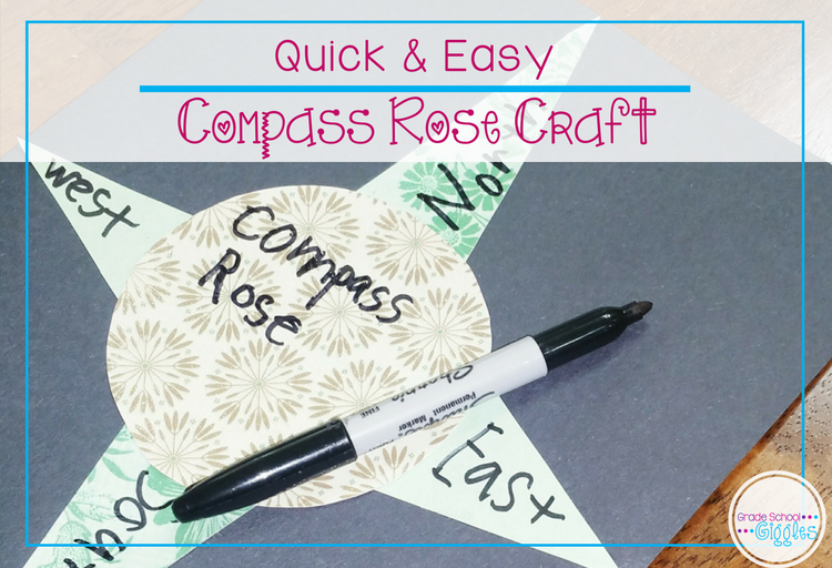
The girls also made a quick compass rose out of my scrapbooking paper. (They love any excuse to get into my special paper.) It was a great way to review the cardinal directions.
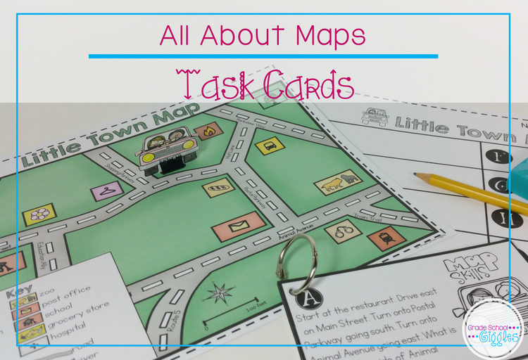
Throughout the introductory activities, my girls had been watching me make my Maps: It’s More Than a Mini-Book for my TPT store. They had been eager for me to finish it. It made a perfect addition to our maps unit. It provides an introduction to maps as well as describing various parts and types of maps. The differences between maps and globes and when to use each are also covered. The final activity in the mini-book is designing a map and using it to write directions.
The girls both were super excited to play with the task cards that I made to go with the Maps Mini-Book. (It’s more than a mini-book, after all!) Big Bit read the directions out loud, and the girls took turns moving the cars along the map to find the answer to each question. Fun stuff, I’m telling you!
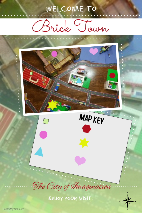
After all of the other activities in our maps unit, I let the girls use some road tape I had bought at Target at the beginning of the year and stashed away till now to design a city. They used their Legos and various other toys to create the buildings.
Then, I stood up on a chair to take a picture from an aerial view, and then we made a map poster using Poster My Wall. Big Bit kept exclaiming, “This can’t be school! It’s too much fun.” So, I think it’s safe to say that this activity was a hit!
I hope you enjoy teaching about maps as much as I did. If you would like to use my Maps: More Than A Mini-Book or the task cards, you can find them here.